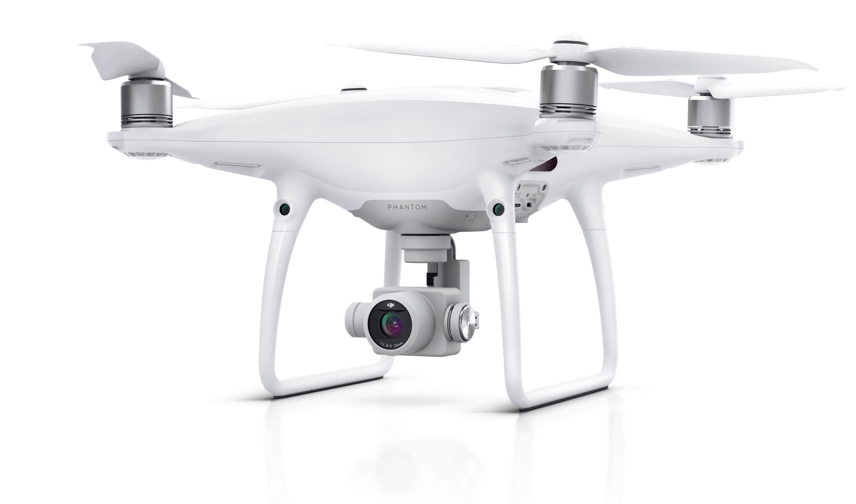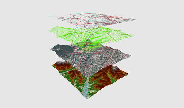
Drones are one of the great technological success stories of the 21st century so far, with UAVs now used for wide range of geospatial services. UAV images are used to generate high quality DTM, DSM, contour, volumetric calculation and for 3D modeling.
DRONE SURVEY
AERIAL TRIANGULATION
ORTHOMOSAIC
DEM GENERATION
DTM GENERATION
DSM GENERATION
CONTOUR GENERATION
VOLUMETRIC CALCULATION
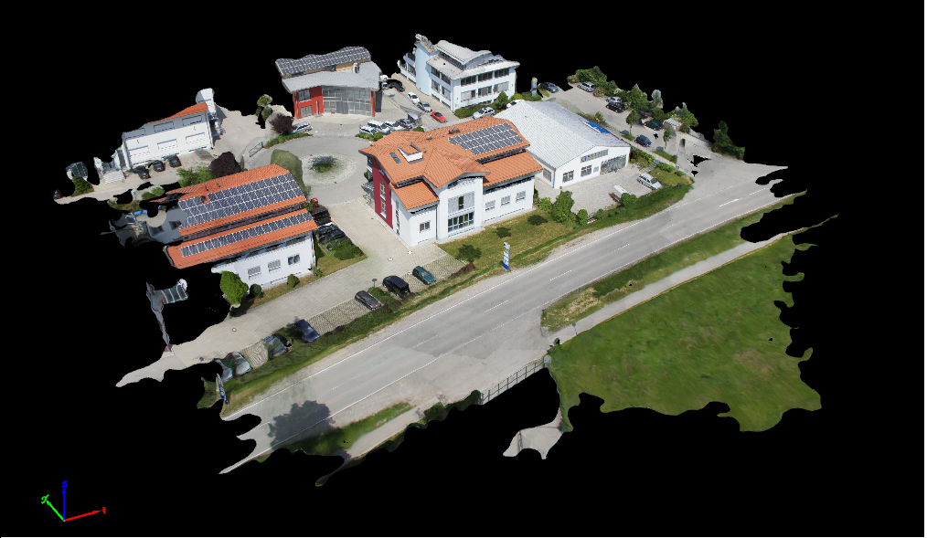
IMAGE TO 3D MODELING
UAV TO PHOTOGRAMMETRY