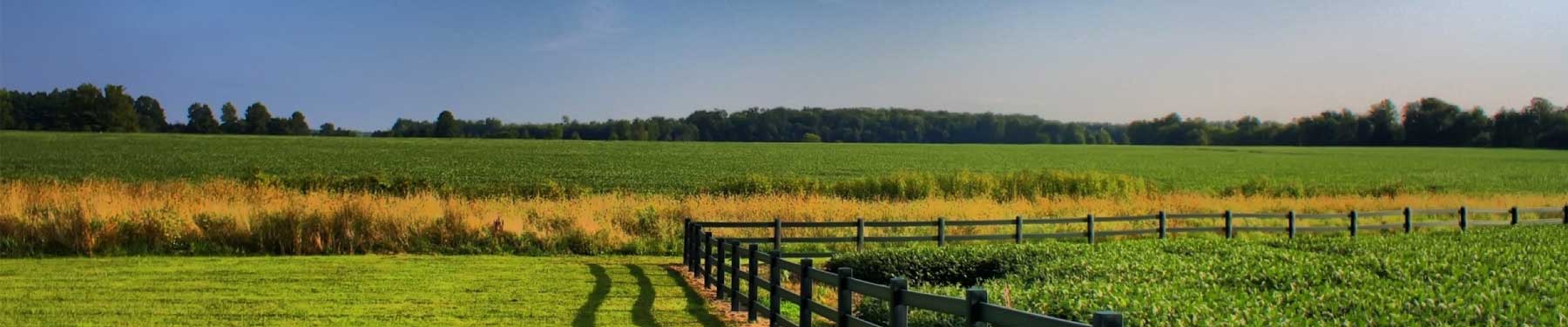
GIS application in land use and agriculture has been playing an increasingly important role in crop production throughout the world by helping farmers in increasing production, reducing costs, and managing their land resources more efficiently. SunGeomatics provide the Geospatial service to Land use and Agriculture, specializes in creating interactive Geospatial map using high-resolution imagery, field observations, and real-time data feeds to get maximum profits and optimize yield. These maps can also help to protect our crop by analyzing and predicting threats, plan sustainable measures that reduce water consumption and bounce back faster from disasters.
GIS data can analyze soil data combined with historical farming practices to determine what are the best crops to plant, where they should go, and how to maintain soil nutrition levels to best benefit the plants.
LiDAR data can be used to create three dimensional digital models of a land and from these produce incredible accurate maps of the natural resources. For example, it can be used to map the water flow, define the water catchments, locate all the trees in an orchard, show the water flow direction at the base of each tree and show the division between water flowing down the tree line or across the tree line.
LiDAR allows us to observe, measure and map out the variations in slope, aspect and elevation and use the results to modify management practices to address limitations to production.
LiDAR data may be used to generate preliminary land-cover classification depicting open, scrub/shrub, urban, and forested classification at a nominal post spacing of 1m to 4.5m. This information is proven to be very useful for determining roughness/Manning "N-values" for the Hydro Geologic and Hydraulic modeling of limited study areas, in support of floodplain mapping.
