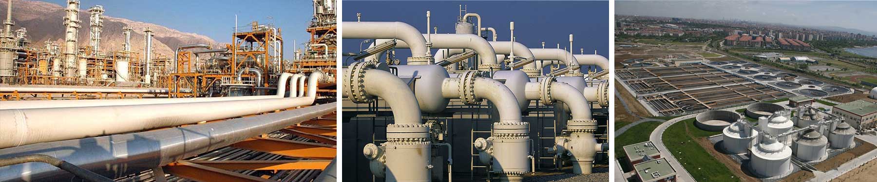
GIS, LiDAR and Imagery data can prove to be highly valuable tools for mapping, for the pipeline industry. SunGeomatics provides the Geospatial service to the Pipeline industry, to know the condition of pipeline and its surroundings, which helps our client to plan and maintain the operational efficiency of their assets.
Geospatial data helps to determine the best locations to put pipes with respect to regulatory, human, and environmental constraints and manage data for environmental permitting. Plan the safest, most profitable and most environmental friendly routes when you expand your network.
Laser scanner is able to record millions of 3D points. These X,Y,Z measurements can be imported into CAD, GIS and engineering software. Standard Geospatial products such as Digital Terrain Model (DTM) or Digital Elevation Model (DEM) can be derived from point cloud data and integrated into existing workflows.
Our services include Pipeline route planning including volumetric analysis and environmental disturbance, identify structures within High Consequence Areas.
