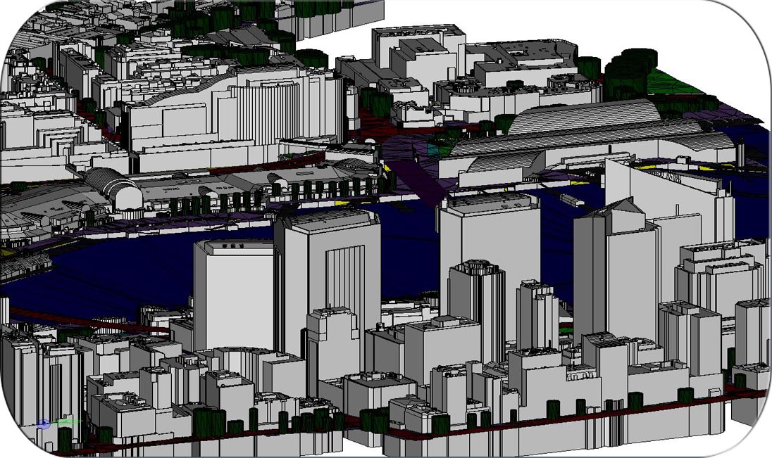
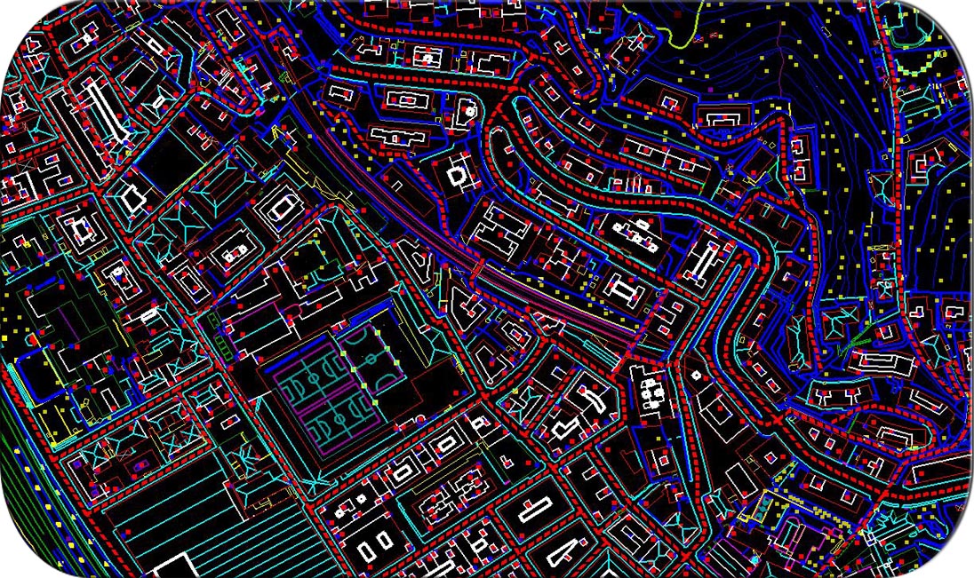
Photogrammetry is the art, science and technology of obtaining reliable information about physical objects and the environment through the process of recording, measuring and interpreting photographic images and patterns of electromagnetic radiant imagery.
Photogrammetry uses many disciplines projective geometry. Digital image capturing and photogrammetric processing includes several well defined stages, which allow the generation of 2D or 3D digital models of the object as an end product.
PHOTOGRAMMETRY SERVICES
AERIAL TRIANGULATION
PLANIMETRY
DTM & DSM
UPDATION MAPPING
CORRIDOR MAPPING
HYDRO MAPPING
FORESTRY MAPPING
LOD1, LOD2 & LOD3
UAV TO PHOTOGRAMMETRY


