Airport
We provide a Geospatial solution to control operations, manage assets and keep the airport secure.
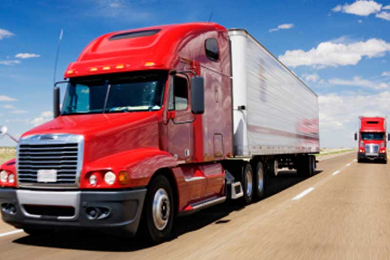
SunGeomatics provides Geospatial solution to plan, monitor, and manage strategic infrastructure more effectively. We offer a framework to collect and analyze the information needed to strengthen transportation infrastructure. Transportation mainly includes Roads and highways, Railways, Airports, Ports.

We provide a Geospatial solution to control operations, manage assets and keep the airport secure.
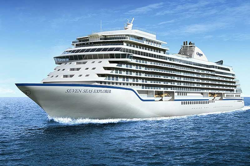
We provide reliable information through mapping platform that supports asset management and operations, which enhances sustainability and security efforts.
We provide a cost effective, proven map based Geospatial solution to plan, manage assets and monitor safety.
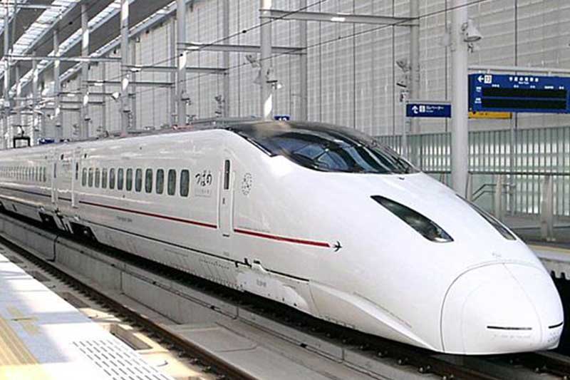
We transform raw data into useful Geospatial information, which helps to improve management, safety, security and promote rail and infrastructure integrity.
