LiDAR is a surveying method that measures distance to a target by illuminating the target with laser light and measuring the reflected light with a sensor. Differences in laser return times and wavelengths can then be used to make digital 3-D representations of the target.
LiDAR is commonly used to make high-resolution maps, with applications in geomatics, archaeology, geography, geology, geomorphology, seismology, forestry, atmospheric physics, laser guidance, airborne laser swath mapping (ALSM), and laser altimetry. The technology is also used in control and navigation
AERIAL FLIGHTLINE MATCHING
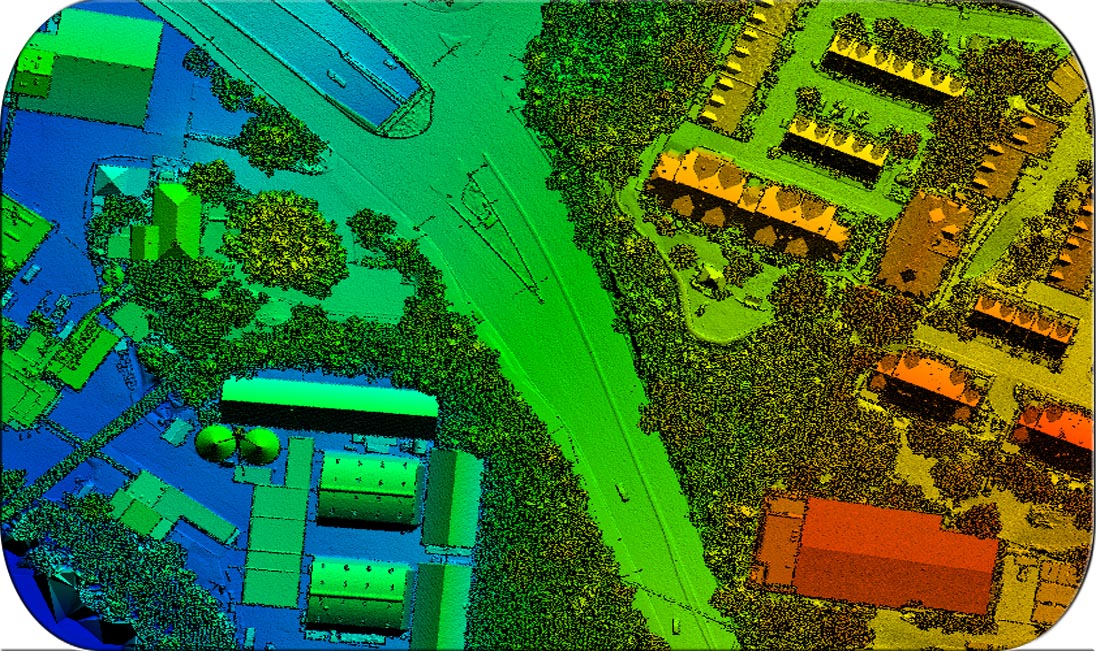
DTM AND DSM CLASSIFICATION
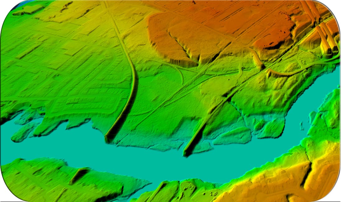
HYDRO FLATTENING
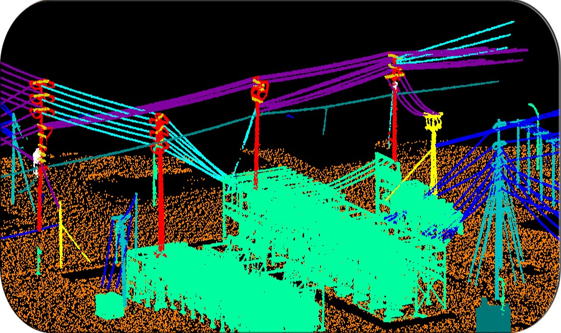
POWERLINE CLASSIFICATION
CONTOUR GENERATION
ADVANCE CLASSIFICATION